
S-100 Requires Real-Time Underwater Perception Where Data is Lacking
By Matthew Zimmerman, CEO FarSounderThe widespread deployment of S-100 based products is on the near-term horizon. With these products, the maritime w...
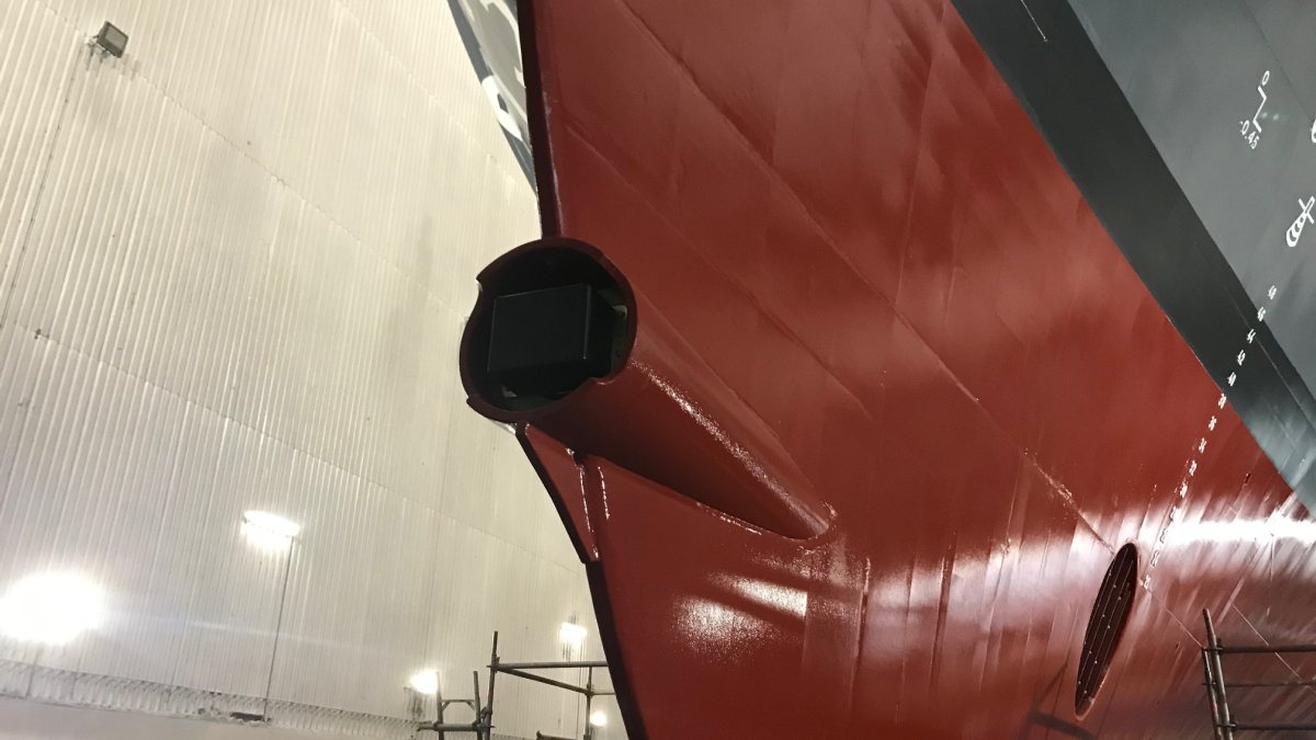
The widespread deployment of S-100 based products is on the near-term horizon. With these products, the maritime world is on the cusp of a navigation transformation as impactful as the original transition from paper charts to ECDIS. However, missing from most of the discussion is the fact that the value of these new capabilities is dramatically limited when the underlying data sets are lacking. Only about 50% of coastal waters have been surveyed at modern standards and most of this coverage is limited to the main shipping channels and routes. For any vessel operating outside of these main routes, charted bathymetry cannot be relied upon. It is in these locations that real-time, underwater perception is required to ensure safe navigation.
Above-water perception systems such as radars and cameras are tools familiar to mariners on all types of vessels, and the fusion of radar data (along with AIS and targets detected from optical sensors) on top of the ECDIS is a standard feature on most integrated solutions. These above-water perception systems are very effective for supporting COLREG navigation, avoiding collisions with other vessels, bridges, and other marked structures. However, relying only on above-water perception systems revolves around the assumption that the charted bathymetry is an accurate representation of the sea floor; in many cases, this is dangerously incorrect.
This story was originally published by The Maritime Executive. Read the full story at The Maritime Executive →


Conversation