
UTEC, Sonardyne Tackle GNSS Disruption in Middle East Pipelay Projects
UTEC, Acteon's geo-services business, will deploy a hybrid acoustic-inertial positioning system developed with Sonardyne to support two offshore pipelay projects in the Middle East…
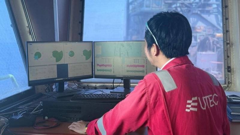
UTEC, Acteon's geo-services business, will deploy a hybrid acoustic-inertial positioning system developed with Sonardyne to support two offshore pipelay projects in the Middle East, covering more than 150 kilometers of pipeline installation.
The system, designed to maintain accurate positioning during GNSS disruption, will support pipelay barges and anchor-handling tugs operating in water depths of less than 50 meters.
Developed with Sonardyne, a Kraken Robotics company, the solution combines Fusion 2 LBL-INS survey software, Compatt 6+ LBL transponders and SPRINT-Nav navigation systems to provide positioning capabilities that reduce reliance on satellite navigation signals.
SPRINT-Nav systems installed on the pipelay barges and support tugs will provide continuous navigation using inertial and Doppler velocity log data, with GNSS positioning available as an additional reference when signals are reliable.
This story was originally published by Offshore Engineer. Read the full story at Offshore Engineer →
Conversation