
Climatempo Integrates Radar Technology, Weather Intelligence to Bolster Storm Resilience
The new Radar RS project implemented by StormGeo subsidiary Climatempo in the Brazilian State of Rio Grande do Sul is integrating radar technology with weather intelligence to turn atmospheric data into improved decision-making to…
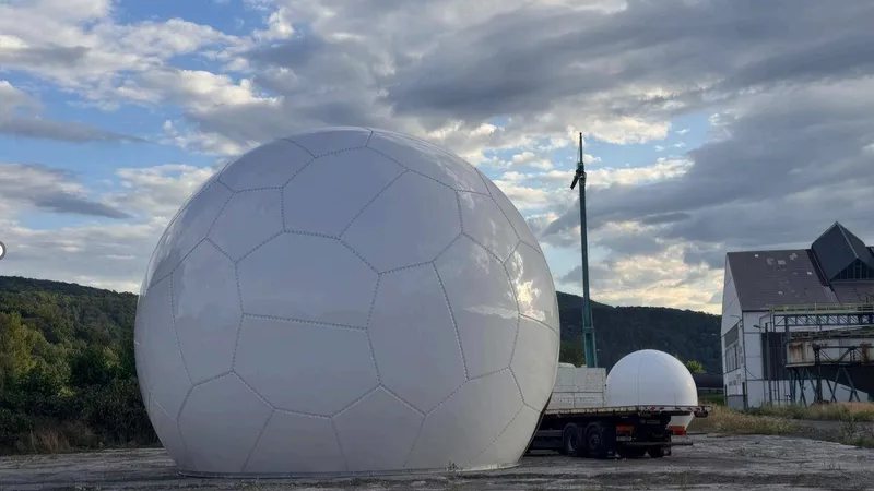
The new Radar RS project implemented by StormGeo subsidiary Climatempo in the Brazilian State of Rio Grande do Sul is integrating radar technology with weather intelligence to turn atmospheric data into improved decision-making to safeguard lives and infrastructure.
In 2024, Rio Grande do Sul experienced severe flooding that affected hundreds of municipalities, displaced hundreds of thousands of people, and caused significant loss of life and damage to infrastructure. As extreme weather events become more frequent and intense, the state is strengthening its meteorological monitoring and response capabilities to reduce risk, protect communities and build long‑term climate resilience.
The Radar RS weather monitoring and intelligence system is designed to enhance monitoring capabilities and bolster emergency preparedness and response to protect citizens from extreme weather and flooding in one of Brazil’s most climate-vulnerable regions. Climatempo, a wholly-owned unit of StormGeo, is combining its local meteorological expertise with radar technology under the flagship project that comprises three S-band weather radars, data integration, and specialized meteorological and geological monitoring.
Radar deployment entailed significant technical analysis of terrain, obstacles, access, safety, power, connectivity, radio-frequency interference, beam blockage and radar coverage to ensure optimal site selection. Nine sites were ranked as the highest-scoring locations – out of 32 coordinates initially studied – and organized into three geographic regions to support design of a three-radar network.
This story was originally published by MarineLink. Read the full story at MarineLink →

Conversation